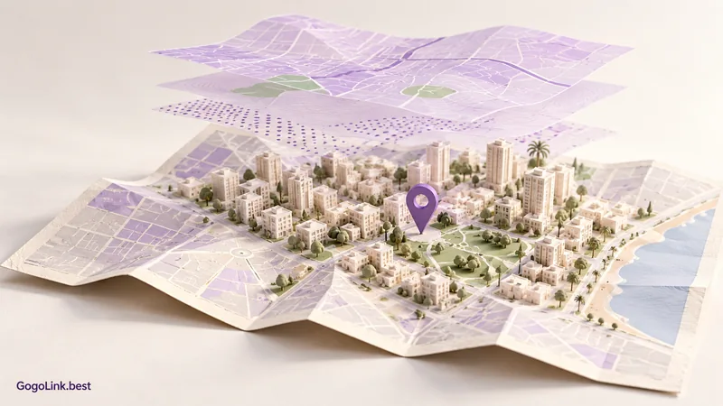
Most of us open a map to find out how to get somewhere. Sometimes, though, the question is more interesting than the route: what surrounds an address, how is the area laid out, and what information is available about that place? That is where an introduction to GovMap, the Survey of Israel's mapping website, begins.
Choose one question about one place
To get to know the tool, choose somewhere familiar: your street, the neighbourhood where you went to school or a place you plan to visit. A map is easier to understand when you have a real-life point of reference. You do not need dozens of layers or a survey of the entire city at this stage.
Start with a modest question, such as which details are shown around a particular address. That focus helps separate information that advances your enquiry from interesting symbols you can leave for another time. This is an introduction to geographic information, not an attempt to draw conclusions from everything on the screen.
Find an address and check that you are in the right place
On GovMap (Opens in a new tab), you can search for an address, a layer or a cadastral block and parcel. Enter a locality and street, then choose the matching result. If the name appears in several localities, do not settle for the first word in the list. Check the surroundings before continuing.
Zoom in and out a little. One scale makes the street easy to identify; another shows its relationship to main roads or open land. This also highlights an important point: something you cannot see at a particular zoom level is not necessarily missing from the database.
Add one layer, then read it
Layers display different kinds of information over the same map. Open the layers section, search for a topic that interests you and turn on one available layer. Button names and options can vary between versions and devices, so focus on the action rather than memorizing a button's position.
Read the legend and the layer details where available. What does the colour represent? Is the symbol a point, line or area? Is the source explained? If you do not understand a symbol, changing colours on the screen does not add knowledge.
Compare without overcrowding the map
Once you understand one layer, turn it off and enable another in the same area. This makes it easier to see what each adds. If you display several layers together, make sure you can still distinguish their lines and colours and that the map does not obscure the information you wanted to examine.
Try describing what you see in a neutral sentence: this layer marks a particular area, or this map shows an institution at this address. Avoid jumping from a symbol to an unchecked conclusion. A map can raise an excellent question even when it does not yet provide a complete answer.
Save the context too
If you share a finding, include the layer name, the area you checked and the date. A cropped screenshot without a legend or explanation can confuse someone who did not follow your process. Where possible, share a link that opens the relevant area and check it works in another window.
For a binding answer about property, boundaries or planning, consult the appropriate authoritative source; a general map display is not enough on its own. For everyday use, however, the habit of checking what each symbol means can change how you look at your neighbourhood. Start with a familiar place and discover how many new questions you can ask about it.
Start with a familiar address and one layer. Understand the legend before adding more information.
Sources and useful links
- GovMap: Israel's government mapping website (Opens in a new tab)
- Survey of Israel: introductory website guide (Opens in a new tab)
Links and documentation were checked before publication. Interfaces and features may change. The article images are illustrations, not screenshots of the services.